 Bangladesh Defense
Saif
Senior Member
- Jan 24, 2024
- 21,419
- 9,743
- Nation

- Residence
- Axis Group

A transformative transport vision for Dhaka
The unveiling of the updated Strategic Transport Plan (STP) for Dhaka marks an important moment in the city's long and often frustrating struggle against traffic congestion, inadequate public transport and unplanned urban expansion. The proposal, which estimates a requirement of nearly US$64 billio
A transformative transport vision for Dhaka
Wasi Ahmed
Published :
Jul 01, 2026 00:03
Updated :
Jul 01, 2026 00:04
The unveiling of the updated Strategic Transport Plan (STP) for Dhaka marks an important moment in the city's long and often frustrating struggle against traffic congestion, inadequate public transport and unplanned urban expansion. The proposal, which estimates a requirement of nearly US$64 billion in transport investment over the next two decades, is undoubtedly ambitious. Yet, considering the magnitude of Dhaka's mobility crisis and the economic costs associated with it, the real question is not whether such investment is large, but whether the nation can afford to delay it any longer.
Dhaka has long been ranked among the world's most congested cities. Every day, millions of commuters lose valuable hours navigating clogged roads, while businesses suffer from delayed deliveries, reduced productivity and rising operational costs. The human cost is equally significant. Lengthy commutes diminish quality of life, increase stress and contribute to environmental pollution.
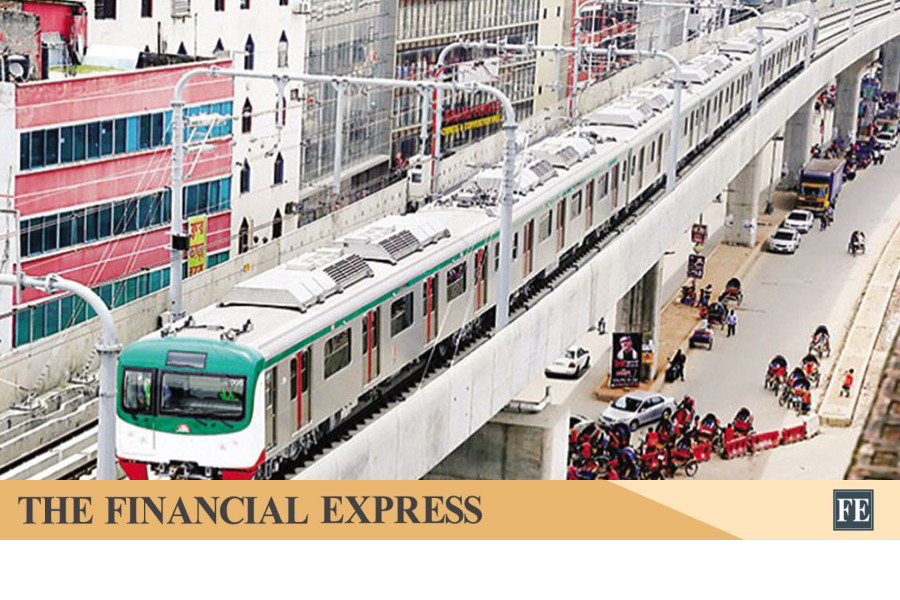
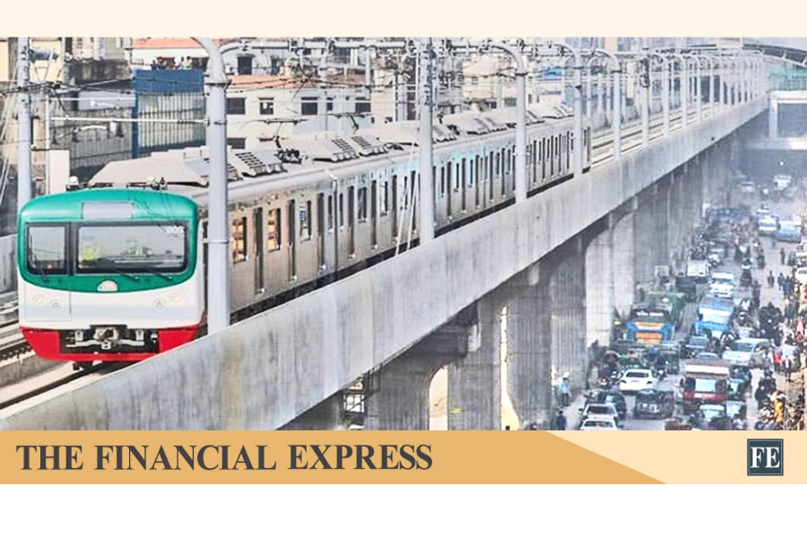
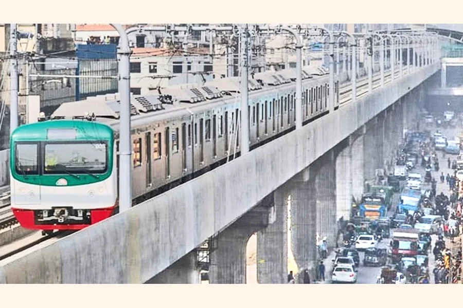
What distinguishes the revised plan is its recognition that solving Dhaka's transport woes requires more than constructing additional roads. The proposal envisages an integrated transport ecosystem comprising eight metro rail lines, five monorail routes, bus corridors serving as feeder networks, expressways, tunnels, pedestrian skywalks, and transit-oriented development projects. Such a multi-modal approach reflects international best practices and acknowledges that modern urban mobility depends on the seamless interaction of different transport modes.
Particularly noteworthy is the plan's emphasis on strengthening public transportation. Survey findings reveal a troubling decline in bus usage over the years. Once accounting for nearly a third of urban trips, bus transport now represents only a small fraction of daily travel. This decline is symptomatic of a system that has struggled to provide reliable, comfortable and efficient services. As commuters increasingly turn to smaller vehicles, traffic congestion has intensified, creating a vicious cycle of inefficiency.
The proposed shift towards bus-based mass transit, including Bus Rapid Transit (BRT) services, therefore deserves strong support. Buses remain the most cost-effective means of transporting large numbers of people in densely populated cities. When integrated with metro rail networks and supported by dedicated corridors, modern bus systems can significantly reduce dependence on private vehicles and improve accessibility for low and middle-income residents. The recommendation to prioritise public transport over small passenger vehicles reflects a strategic understanding that sustainable mobility cannot be achieved through road expansion alone.
Equally significant is the plan's focus on pedestrians and non-motorised transport. The survey findings indicate that short-distance trips, particularly those within 400 metres, are predominantly undertaken on foot, while rickshaws continue to dominate journeys of up to four kilometres. These realities underline the need for safer sidewalks, improved pedestrian infrastructure and better integration of traditional transport modes into the broader urban mobility framework. The inclusion of bicycle lanes, expanded footpaths, and pedestrian-friendly facilities signals a welcome recognition that transport planning must serve all users, not merely motorists.
Another notable feature of the strategy is its effort to explore innovative financing mechanisms. Road pricing, betterment levies and value-capture financing are expected to generate substantial revenue over the implementation period. Such measures have been successfully employed in many global cities to both manage traffic demand and finance infrastructure development. However, introducing road pricing in Dhaka will require careful planning, transparent implementation and strong public communication. Without public confidence and visible improvements in transport services, such measures may encounter resistance.
The financing challenge remains formidable. While the report suggests that a significant portion of the required investment could be accommodated within existing spending capacities, substantial funding gaps remain. Mobilising resources to execute the plan will require innovative public-private partnerships, international financing support and sustained political commitment across successive administrations. Transport infrastructure projects often span decades, making continuity of policy and institutional stability essential for success.
Institutional reform, therefore, emerges as a crucial component of the proposed strategy. The recommendation to strengthen the Dhaka Transport Coordination Authority by transforming it into a more empowered urban transport authority reflects a practical recognition of existing governance challenges. Dhaka's transport sector has long suffered from fragmented responsibilities across multiple agencies, often resulting in duplication, delays and poor coordination. A stronger central authority could help ensure coherent planning, effective implementation and greater accountability.
Perhaps the most encouraging aspect of the updated plan is the extensive consultation process that led to its preparation. Drawing upon numerous surveys and engaging dozens of agencies across various ministries, the strategy reflects a data-driven approach to policymaking. Such evidence-based planning increases the likelihood that future investments will address actual travel patterns and emerging mobility needs rather than merely responding to short-term pressures.
Yet plans alone do not solve urban problems. Dhaka has witnessed several transport master plans over the years, some of which achieved notable progress while others remained largely on paper. The true measure of success will lie not in the vision outlined in reports but in the consistency and determination with which that vision is implemented.
As Dhaka continues to grow into one of the world's largest megacities, the stakes could hardly be higher. Efficient transport is not simply about reducing travel times; it is about enhancing economic competitiveness, improving environmental sustainability, expanding social inclusion and improving the quality of urban life. The updated Strategic Transport Plan presents a rare opportunity to reshape the future trajectory of the capital. The challenge now is to convert ambition into action and ensure that the city moves steadily towards a future where mobility becomes an enabler of progress rather than a daily obstacle to it.
Wasi Ahmed
Published :
Jul 01, 2026 00:03
Updated :
Jul 01, 2026 00:04
The unveiling of the updated Strategic Transport Plan (STP) for Dhaka marks an important moment in the city's long and often frustrating struggle against traffic congestion, inadequate public transport and unplanned urban expansion. The proposal, which estimates a requirement of nearly US$64 billion in transport investment over the next two decades, is undoubtedly ambitious. Yet, considering the magnitude of Dhaka's mobility crisis and the economic costs associated with it, the real question is not whether such investment is large, but whether the nation can afford to delay it any longer.
Dhaka has long been ranked among the world's most congested cities. Every day, millions of commuters lose valuable hours navigating clogged roads, while businesses suffer from delayed deliveries, reduced productivity and rising operational costs. The human cost is equally significant. Lengthy commutes diminish quality of life, increase stress and contribute to environmental pollution.
What distinguishes the revised plan is its recognition that solving Dhaka's transport woes requires more than constructing additional roads. The proposal envisages an integrated transport ecosystem comprising eight metro rail lines, five monorail routes, bus corridors serving as feeder networks, expressways, tunnels, pedestrian skywalks, and transit-oriented development projects. Such a multi-modal approach reflects international best practices and acknowledges that modern urban mobility depends on the seamless interaction of different transport modes.
Particularly noteworthy is the plan's emphasis on strengthening public transportation. Survey findings reveal a troubling decline in bus usage over the years. Once accounting for nearly a third of urban trips, bus transport now represents only a small fraction of daily travel. This decline is symptomatic of a system that has struggled to provide reliable, comfortable and efficient services. As commuters increasingly turn to smaller vehicles, traffic congestion has intensified, creating a vicious cycle of inefficiency.
The proposed shift towards bus-based mass transit, including Bus Rapid Transit (BRT) services, therefore deserves strong support. Buses remain the most cost-effective means of transporting large numbers of people in densely populated cities. When integrated with metro rail networks and supported by dedicated corridors, modern bus systems can significantly reduce dependence on private vehicles and improve accessibility for low and middle-income residents. The recommendation to prioritise public transport over small passenger vehicles reflects a strategic understanding that sustainable mobility cannot be achieved through road expansion alone.
Equally significant is the plan's focus on pedestrians and non-motorised transport. The survey findings indicate that short-distance trips, particularly those within 400 metres, are predominantly undertaken on foot, while rickshaws continue to dominate journeys of up to four kilometres. These realities underline the need for safer sidewalks, improved pedestrian infrastructure and better integration of traditional transport modes into the broader urban mobility framework. The inclusion of bicycle lanes, expanded footpaths, and pedestrian-friendly facilities signals a welcome recognition that transport planning must serve all users, not merely motorists.
Another notable feature of the strategy is its effort to explore innovative financing mechanisms. Road pricing, betterment levies and value-capture financing are expected to generate substantial revenue over the implementation period. Such measures have been successfully employed in many global cities to both manage traffic demand and finance infrastructure development. However, introducing road pricing in Dhaka will require careful planning, transparent implementation and strong public communication. Without public confidence and visible improvements in transport services, such measures may encounter resistance.
The financing challenge remains formidable. While the report suggests that a significant portion of the required investment could be accommodated within existing spending capacities, substantial funding gaps remain. Mobilising resources to execute the plan will require innovative public-private partnerships, international financing support and sustained political commitment across successive administrations. Transport infrastructure projects often span decades, making continuity of policy and institutional stability essential for success.
Institutional reform, therefore, emerges as a crucial component of the proposed strategy. The recommendation to strengthen the Dhaka Transport Coordination Authority by transforming it into a more empowered urban transport authority reflects a practical recognition of existing governance challenges. Dhaka's transport sector has long suffered from fragmented responsibilities across multiple agencies, often resulting in duplication, delays and poor coordination. A stronger central authority could help ensure coherent planning, effective implementation and greater accountability.
Perhaps the most encouraging aspect of the updated plan is the extensive consultation process that led to its preparation. Drawing upon numerous surveys and engaging dozens of agencies across various ministries, the strategy reflects a data-driven approach to policymaking. Such evidence-based planning increases the likelihood that future investments will address actual travel patterns and emerging mobility needs rather than merely responding to short-term pressures.
Yet plans alone do not solve urban problems. Dhaka has witnessed several transport master plans over the years, some of which achieved notable progress while others remained largely on paper. The true measure of success will lie not in the vision outlined in reports but in the consistency and determination with which that vision is implemented.
As Dhaka continues to grow into one of the world's largest megacities, the stakes could hardly be higher. Efficient transport is not simply about reducing travel times; it is about enhancing economic competitiveness, improving environmental sustainability, expanding social inclusion and improving the quality of urban life. The updated Strategic Transport Plan presents a rare opportunity to reshape the future trajectory of the capital. The challenge now is to convert ambition into action and ensure that the city moves steadily towards a future where mobility becomes an enabler of progress rather than a daily obstacle to it.